Description
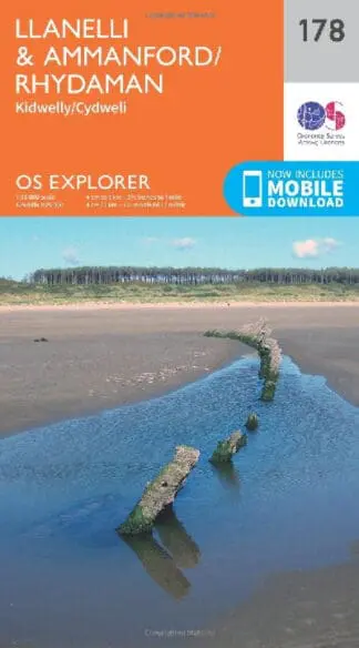
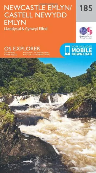
A 1:25,000 scale Ordnance Survey ‘Explorer’ map of the northern region of the Snowdonia National Park, denoting public rights of way and open access lands, camping and caravan sites, car parks, public houses and youth hostels, natural features and nature reserves.