Description
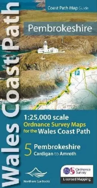
A volume comprising OS mapping for the Wales Coast Path between Cardigan and Amroth. Contains extracts from large scale 1:25,000 Explorer maps 35 and 36. One of seven handy, lightweight, pocket size map books covering the whole of the 870-mile/1400 kilometre Wales Coast Path – from Chester to Chepstow. Each map book matches one of the seven sections covered by the Official Guidebooks..